


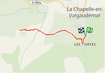

8,8 km | 13,6 km-effort

Gebruiker GUIDE


Gratisgps-wandelapplicatie
 SityTrail
IGN / Geografische instituten
SityTrail World
De wereld gaat voor u open
Tocht Stappen van 4,3 km beschikbaar op Provence-Alpes-Côte d'Azur, Hautes-Alpes, La Chapelle-en-Valgaudémar. Deze tocht wordt voorgesteld door Orcal37.
Valgaudemar - La Chapelle (les Portes) forêt - 4.3km 285m 1h35 - 2018 07 05 - public
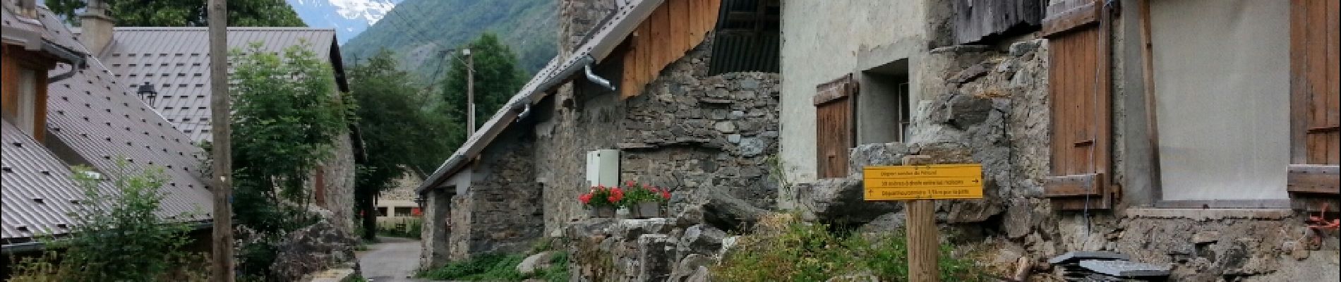
 forêt - 4.3km 285m 1h35 - 2018 07 05 - public - Photo 1")
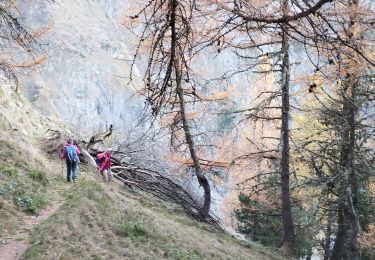
 forêt - 4.3km 285m 1h35 - 2018 07 05 - public - Photo 2")
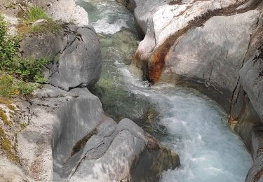
 forêt - 4.3km 285m 1h35 - 2018 07 05 - public - Photo 3")
 forêt - 4.3km 285m 1h35 - 2018 07 05 - public - Photo 4")
 forêt - 4.3km 285m 1h35 - 2018 07 05 - public - Photo 5")

Stappen

Stappen

Stappen

Stappen

Stappen

Stappen

Stappen
Stappen
Stappen